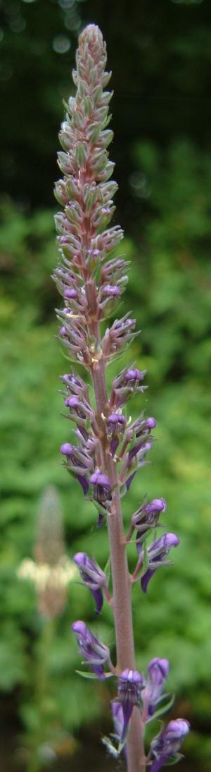
Purple toadflax (Linaria purpurea), a plant of garden origin that seems quite at home along the Brook.
Between Cherry Hinton Brook and Cherry Hinton (see map below) lie three lakes that were formerly chalk pits. Under Policy 16 of the 2018 Cambridge Local Plan, two of the lakes are part of an area that has been approved for primarily passive outdoor recreation opportunities in the form of a new urban country park. The Local Plan states that development of this area will only be supported where, among other things, a detailed feasibility report is submitted, the form and nature of public access to the urban country park are established, and existing sites of local nature conservation importance are recognised.
Friends of Cherry Hinton Brook broadly agree that the lakes could be developed as an urban country park, provided the conditions specified in the Local Plan are fully met. The Lakes are part of an important wildlife corridor and any changes to access must take into account the need to protect wildlife and avoid disturbance or damage to wildlife habitats, and to sites designated for nature protection. In addition, the interests of local residents must be considered, and the urban country park, if developed, should be designed for the benefit of local users and not promoted as a destination for other visitors. We believe the emphasis should be on the quiet enjoyment of the natural history of the area, primarily through walking.
Until such development occurs, we fully support restriction of access to the lakes to those with appropriate permission (e.g. members of Cherry Hinton and District Angling Club and emergency services). Other forms of public access are not allowed.
For a full version of our policy on public access to the lakes, see submission and our response to policy 15 of the draft Local Plan, which we provided as part of the consultation process. We also provided comments on the initial scoping ideas for the area that were produced for Andersons in 2015; these can be found here.
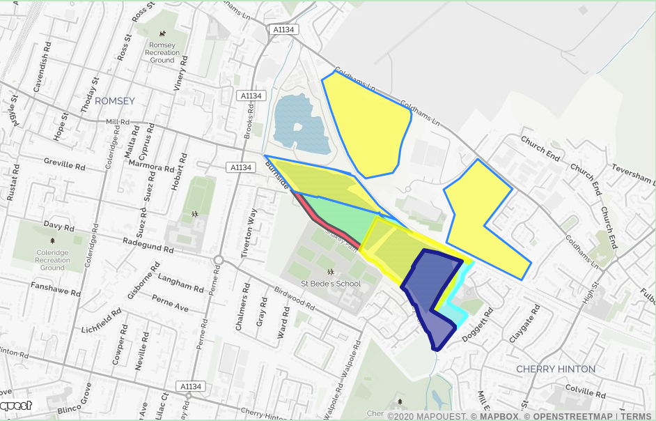
A difficulty in any attempt to open up the lakes to the general public is the complexity of their ownership. This map shows what we believe to be the ownership pattern. The areas shown are approximate and carry no legal weight. Apparent overlap between areas is due to inaccuracies in the sketch maps we have seen. If you have any more accurate information, please let us know.